|
|||||||
|
|||||||
|
|
||
|
|
ApuanGeoLab
in Equi Terme |
|
|
|
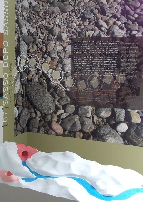
ApuanGeoLab tells you how mountains are shaped by water, ice and wind. These three agents gradually cause erosion, transport debris and deposit the debris in valley areas. Water penetrates through the worn peaks and ridges through natural fissures and fractures rocks through a freezing and thawing process: particles carried by the wind wear away rock walls. Rushing streams sweep down the mountain flanks carving out riverbeds and carrying off debris. It is mainly running surface water that transports erosion debris down to the valleys. Rivers, as they run to the sea, carry large amounts of minute, suspended fragments. Other, larger debris skips, rolls or is dragged along riverbeds. Sharp edged debris is turned into rounded pebbles as it endlessly rolls and bumps downstream. Rivers gradually slow down as they move downriver to the valley, where they then deposit the debris they have been carrying: the larger and heavier debris first followed by the smaller, lighter fragments. ApuanGeoLab tells you why large amounts of water are occasionally found deep inside mountains: the water runs and rests in a complex network of natural cavities and galleries. The shapes and sizes of these cavities and galleries are extremely varied and have been dug out by the water itself over a long period of time (up to two or more million years). These complex karst caves or hypogean complexes form in soluble rocks, like limestones, dolomites, chalks, etc., mainly due to the chemical dissolution of their constituent minerals, but also due to the mechanical erosion of flowing underground water. |
|
|
|
||