

|
Geological Map of the
Park
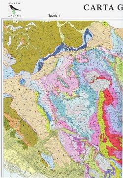
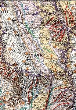
In 2000 the Park Authority financed the printing and circulation of
two 100x70 cm pieces of paper. The first is the Geological Map of the Park of
the Apuan Alps with a scale ratio of 1:50,000 and the second focuses on
the geological cross-sections and structures of the Apuan Alps. The
publication was edited by the Department of Earth Sciences of the University
of Siena and saw the contribution of famous scientists and researchers –
Luigi Carmignani, Gaetano Giglia and Marco Meccheri just to name a few – who
have been working for years on the surveys and structural interpretation of
the Apuan Alps. The Geological Map of the Apuan Park follows the geological
mapping tradition which, since the second half of the 19th century, has been
focused on the Apuan territory reaching a level of details and precision not
found elsewhere. Technical importance aside, the language used and the
information provided are really valuable.
geological map (here
available)
 download sheet n. 1
(jpg 34 Mb ca.)
 download sheet n. 2
(jpg 17 Mb ca.)
|
 |
|
|
Geomorphological and
Neotectonic Map of the Park
In 2015
the Park Authority
financed the printing and circulation of two map sheets 100x70 cm:
a geomorphological map of Apuan Alps Regional Park and its immediate
surroundings at a scale of 1:50,000 and two thematic maps at a scale of
1:100,000 (‘Neotectonic Map’ and the ‘Map of Selected Sites of
Geomorphological Significance’) and other four thematic maps at a scale
of 1:200,000 that present the relief, slope aspects, drainage networks,
and climatic elements of the region.
This map was edited by
the Universities of Pisa and Siena. The authors are Carlo Baroni,
Pierluigi Pieruccini, Monica Bini, Mauro Coltorti, Pier Luigi Fantozzi,
Giulia Guidobaldi, Daniele Nannini, Adriano Ribolini and Maria Cristina
Salvatore.
geomorphological map (here
available)
 download sheet n. 1
(pdf 11 Mb ca.)
 download sheet n. 2
(pdf 6 Mb ca.)
 explanatory notes
(pdf 4 Mb ca.)
|
 |


